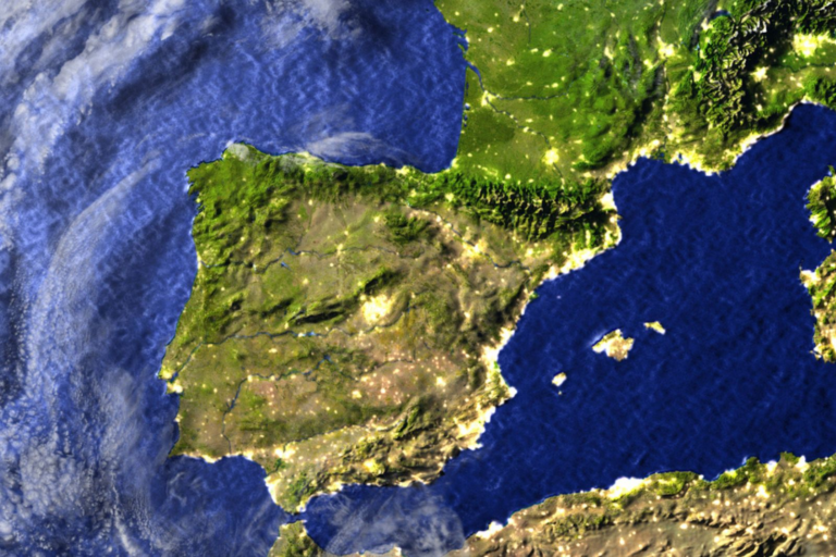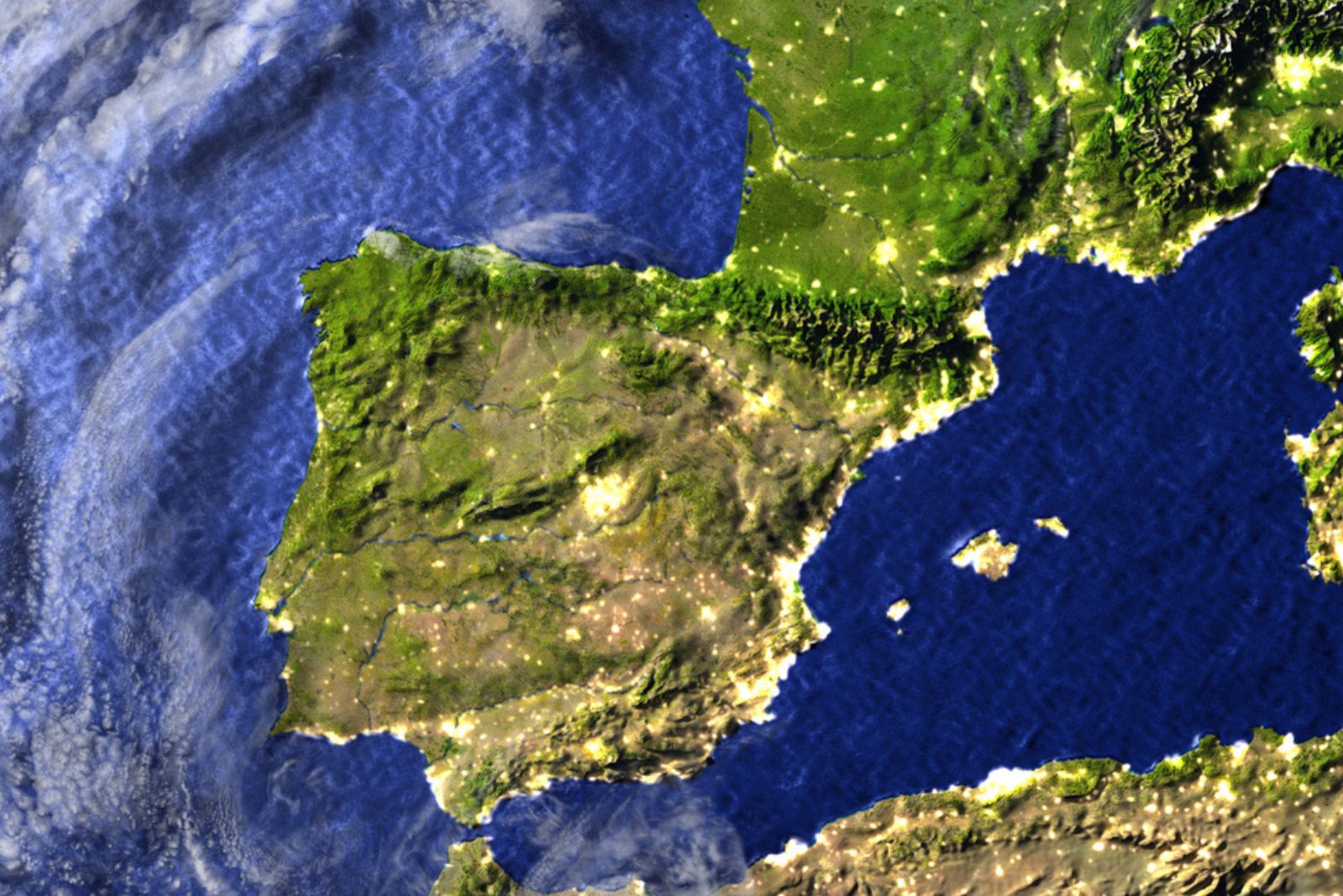
The rotation stems from the ongoing convergence of the African and Eurasian tectonic plates. These massive plates creep four to six millimeters closer together each year. Along most of their Atlantic boundary, the divide forms a distinct line. South of Spain, however, the collision blurs into a wide zone of deformation where forces spread across hundreds of miles of solid rock.
The research team split the complex boundary into two distinct behavioral zones based on how deep stress moves through the crust. East of the Strait of Gibraltar, a drifting crustal block known as the Alboran domain absorbs most of the impact. This block drives the creation of the Gibraltar Arc, the curved mountain chain linking southern Spain’s Betic range to the Rif mountains in Morocco. In doing so, it shields the Spanish interior from major tectonic strain.
West of the strait, that protective buffering effect disappears entirely. Africa and Iberia collide directly across open ocean rock without an intervening block to absorb the force. The team’s analysis shows that this direct impact strikes Iberia from the southwest. That off-center push slowly twists the entire landmass clockwise over geological time.
The study puts the rotation rate at roughly 0.1 to 0.2 degrees per million years. Geologists measure this tiny velocity in nanoradians per year. The movement concentrates in southwestern Iberia and gradually fades toward the Portuguese coast near Lisbon.
Because the movement unfolds across millions of years, residents of Spain and Portugal cannot feel it. Over geological epochs, however, the continuous northern push will steadily close the Mediterranean Sea, eventually altering the regional landscape.
Combining seismic stress records with satellite strain measurements allows geophysicists to locate hidden faults. Traditional mapping often misses deep structures responsible for small, recurring earthquakes in areas where topsoil covers structural breaks.
Comparing surface bending against underground stress patterns gives researchers a clear guide. The team can now pinpoint where hidden faults lie and predict how they will move. This dataset offers civil engineers and seismologists crucial clues about potential earthquake sources across the region.
Satellite tracking covers only a few decades of observational data. Using short-term GPS records and historical earthquake catalogs to model processes that span millions of years introduces natural uncertainty into the exact rotation rate.
The direct collision mechanism west of Gibraltar remains the team’s primary interpretation based on regional stress patterns rather than direct physical observation deep in the mantle. To test their model against physical evidence, Madarieta-Txurruka and his colleagues are currently building a comprehensive database of active faults across the entire peninsula.
Source: Asier Madarieta-Txurruka et al., “New insights on active geodynamics of Iberia and Northwestern Africa from seismic stress and geodetic strain-rate fields,” Gondwana Research 149:314–336 (2026).
About the Author